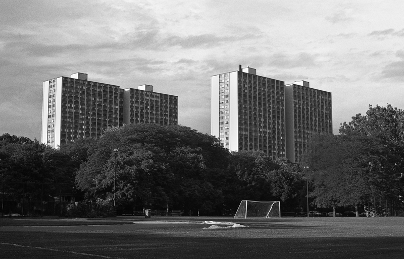
Category II : Kenwood Park, Toward 49th and Dorchester

My interest in the boundaries created by the University of Chicago was piqued as a first-year during Orientation Week. I noticed that the upperclassmen leading our orientation meetings on transportation and city life did not tell us exactly where we should or shouldn’t go, but instead told us the boundaries of the UofC Police Department’s patrol zone: Lake Shore Drive to the east, Cottage Grove Avenue to the west, 37th Street to the north, and 64th Street to the south. Over the course of my years at the UofC, this definition of space and place in terms of police boundaries became increasingly apparent and significant, especially as tensions have flared among community members unaffiliated with the university who have experienced harassment and racial profiling at the hands of the UCPD. As I began to expand outward from the UCPD boundaries as designators of space and community, I also became interested in the university’s role in Hyde Park’s long history of urban renewal. Already the owner of massive amounts of property outside the patrol zone, the university acquired twenty-six properties in the Washington Park neighborhood between 2008 and 2014 to add to the four charter schools it runs at the patrol zone’s peripheries.
Over the course of the past six months, I have undertaken a large-scale, cross-disciplinary project titled “Outside That System and Hence Unspeakable,” that uses photography and archival research to examine the nature of place-definition and the properties, boundaries, and visual identity of the University of Chicago, particularly when viewed in relation to Hyde Park and the surrounding communities of Woodlawn, Kenwood, and Washington Park. Through my work with these themes, I have explored and documented the diverse array of spaces that fall under the umbrella of the UofC, and divided them into three general spatial typologies:
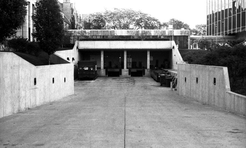
Category I: Places that lie within the official boundaries of the campus core, as designated by maps produced by the UCPD, but do not fit the particular architectural or aesthetic identity that is promoted by the UofC marketing and promotional materials, such as portions of the hospital complex, parking garages, utility plants, and loading docks.

Category I : Loading Dock behind the D’Angelo Law Library
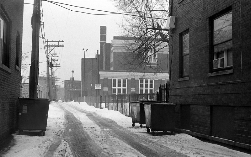
Category II: Places that lie within the boundaries of the UCPD’s patrol zone but are not owned by or affiliated with the university, such as the housing complexes along 55th Street, properties between 61st and 64th Streets, and north of Hyde Park Boulevard.

Category II : Alley, 61st Street between Ellis and Ingleside
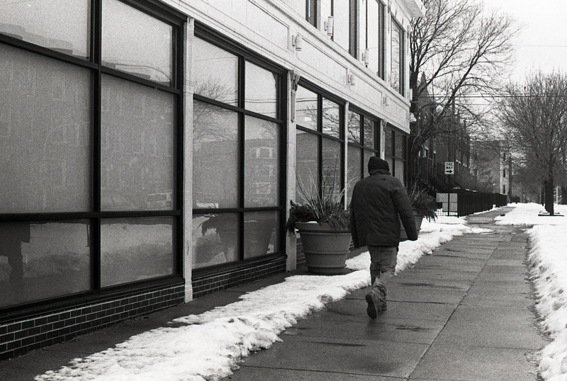
Category III: Places that are owned or operated by the UofC that are outside of the campus core and/or the UCPD patrol zone, such as University-operated charter schools, the Arts Incubator and other properties in Washington Park, Harper Court, and graduate student housing.

Category III: Arts Incubator, Garfield Boulevard and Prairie Avenue
By documenting the vast scope of what constitutes the University of Chicago, I aim to show the ways in which the UofC is able to use its institutional influence to both directly alter and subtly redefine the spaces that lie on its peripheries, to look closely at what’s revealed in the ostensibly banal features of the built environment, and to encourage members of the community—particularly UofC students—to think critically about the decisions and actions that have caused the University’s surrounding areas to change in the ways that they have. More photographs and maps may be found on the project website, unspeakable.info.


Please add me to your mailing list.
I heard your interview on WGN this AM was interested in looking at the photos you’ve taken. I went to unspeakable.info. and it was unknown. Is there more to the web address. I did find your brief article in the South Side Weekly and would be interested in following your project.
Thanks,
Ron S